Explore
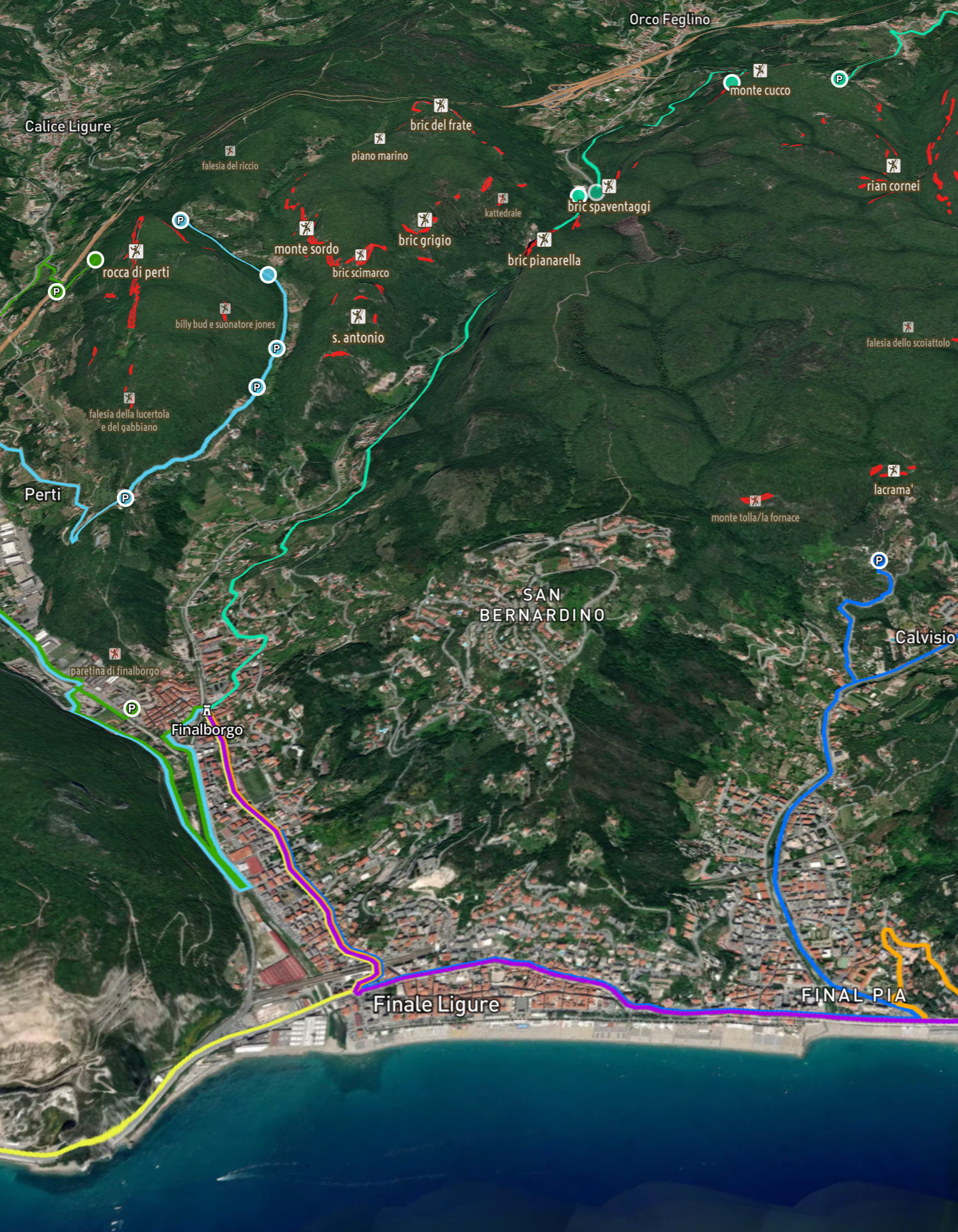
Orient yourself better in the territory, you can discover new unexplored crags
The Project

Whether you are an experienced climber or a novice, PaClimb Map will accompany you from finding the crags that best suit you to choosing the routes to tackle. It will provide you with all the answers you need without ever leaving you alone.
Orient yourself better in the territory, you can discover new unexplored crags
Plan your climbing adventure based on the grade, approach time and exposure of the crag
Find the fastest path to reach the crag thanks to the navigation mode
This ambitious adventure starts with Finale Ligure, one of the areas with the highest number of crags in Italy. Testing PaClimb Map in this area will allow us to improve the map and the app by adding new features and data, and will help us to define a method to be applied in the future in the iconic places of Italian and European climbing.
Become a Beta Tester →One of the unique aspects of PaClimb Map is that it was born from a heterogeneous team composed of people with mainly a geological technical background. By applying geological analysis skills to the territory, the PaClimb Map team can create a strong connection between the climber and the local territory through unique tools and the most detailed information possible.

Project Manager

Web developer
Expert GIS Analyst

Expert Data Analyst
QA and Expert climber

Web designer